
Warumungu topographic map
Interactive map
Click on the map to display elevation.
About this map
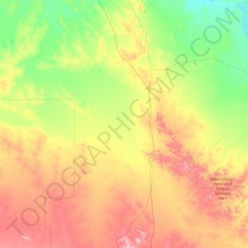
Name: Warumungu topographic map, elevation, terrain.
Location: Warumungu, Barkly Region, Territoire du Nord, Australie (-21.19477 132.18392 -19.08108 135.56490)
Average elevation: 347 m
Minimum elevation: 203 m
Maximum elevation: 736 m