
Lipprandis topographic map
Click on the map to display elevation.
About this map
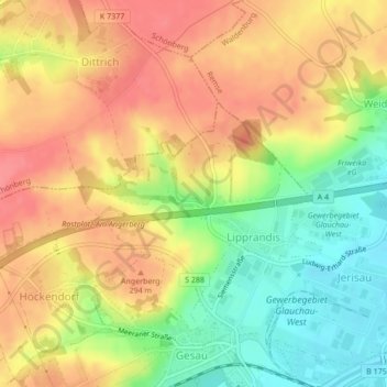
Name: Lipprandis topographic map, elevation, terrain.
Location: Lipprandis, Glauchau, Zwickau, Sachsen, Deutschland (50.83585 12.50369 50.84868 12.53042)
Average elevation: 274 m
Minimum elevation: 233 m
Maximum elevation: 305 m