
Drăgești topographic map
Interactive map
Click on the map to display elevation.
About this map
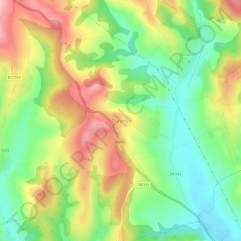
Name: Drăgești topographic map, elevation, terrain.
Location: Drăgești, Bihor, 417260, Rumänien (46.87989 22.10842 46.91989 22.14842)
Average elevation: 237 m
Minimum elevation: 169 m
Maximum elevation: 322 m