
Jatisari topographic map
Interactive map
Click on the map to display elevation.
About this map
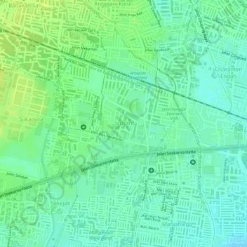
Name: Jatisari topographic map, elevation, terrain.
Location: Jatisari, Buahbatu, Bandung, West Java, Indonesia (-6.94186 107.65276 -6.92967 107.66972)
Average elevation: 677 m
Minimum elevation: 668 m
Maximum elevation: 684 m