
Damer topographic map
Click on the map to display elevation.
About this map
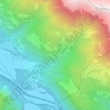
Name: Damer topographic map, elevation, terrain.
Location: Damer, Gemeinde Nikolsdorf, Bezirk Lienz, Tyrol, 9782, Austria (46.76296 12.91263 46.80296 12.95263)
Average elevation: 1,222 m
Minimum elevation: 623 m
Maximum elevation: 2,393 m