
Chormara topographic map
Click on the map to display elevation.
About this map
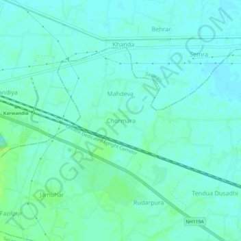
Name: Chormara topographic map, elevation, terrain.
Location: Chormara, Dehri, Rohtas District, Bihar, 821305, India (24.92816 84.09124 24.96816 84.13124)
Average elevation: 109 m
Minimum elevation: 105 m
Maximum elevation: 117 m
Other topographic maps
Click on a map to view its topography, its elevation and its terrain.