
涵水河 topographic map
Interactive map
Click on the map to display elevation.
About this map
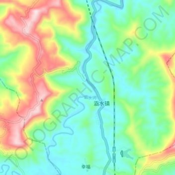
Name: 涵水河 topographic map, elevation, terrain.
Location: 涵水河, 涵水镇, Xian de Pingchang, Bazhong, Sichuan, Chine (31.34130 107.09122 31.40297 107.12200)
Average elevation: 415 m
Minimum elevation: 283 m
Maximum elevation: 683 m