Geolocate

Fregenal topographic map

Click on the map to display elevation.

About this map

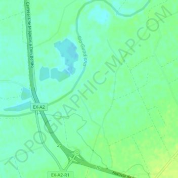
Name: Fregenal topographic map, elevation, terrain.

Location: Fregenal, Don Benito, Badajoz, Extremadura, 06400, España (38.99164 -5.86771 39.01164 -5.84771)

Average elevation: 251 m

Minimum elevation: 244 m

Maximum elevation: 259 m

Gear up for your next adventure:

🔦LED Flashlight - Powerful and long-lasting flashlight for camping and emergencies
💡Solar Camping Lamp - Eco-friendly lighting for campsites
🥾Durable Hiking Shoes - Long-lasting shoes for frequent hiking
🔥Camping Stove - Portable stoves to cook outdoors with ease
🔦UV Flashlight - Detect minerals or specific insects in the dark

As an Amazon Associate, this site earns from qualifying purchases at no extra cost to you.