
Bispgården topographic map
Click on the map to display elevation.
About this map
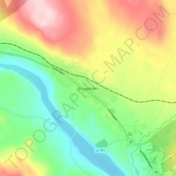
Name: Bispgården topographic map, elevation, terrain.
Location: Bispgården, Ragunda kommun, Jämtland County, 840 73, Sweden (63.00415 16.61549 63.04415 16.65549)
Average elevation: 190 m
Minimum elevation: 82 m
Maximum elevation: 343 m