Geolocate

Alsea topographic map

Click on the map to display elevation.

👉 Easily get elevation data in JSON, GeoTIFF and KML formats using Elevation API
Thank you for supporting this site ❤️
Make a donation

About this map

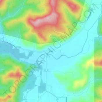
Name: Alsea topographic map, elevation, terrain.

Location: Alsea, Benton County, Oregon, 97324, United States (44.36151 -123.61649 44.40151 -123.57649)

Average elevation: 154 m

Minimum elevation: 74 m

Maximum elevation: 343 m

Gear up for your next adventure:

🥾Trekking Poles - Adjustable trekking poles to reduce knee stress and improve stability
🧥Ultralight Puffy Jacket - Maximum warmth that packs down to the size of an orange
🧢Beanie Hat - Keep your head warm in cold weather
🧭GPS Tracker - Track your location in remote areas safely
🗺️Topographic Maps - Detailed maps to explore trails, mountains, and wilderness areas

As an Amazon Associate, this site earns from qualifying purchases at no extra cost to you.