
Lagunen topographic map
Click on the map to display elevation.
About this map
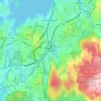
Name: Lagunen topographic map, elevation, terrain.
Location: Lagunen, Vestland, 5236, Norway (60.27741 5.31054 60.31741 5.35054)
Average elevation: 79 m
Minimum elevation: -3 m
Maximum elevation: 270 m
Other topographic maps
Click on a map to view its topography, its elevation and its terrain.