Geolocate

London topographic map

Click on the map to display elevation.

About this map

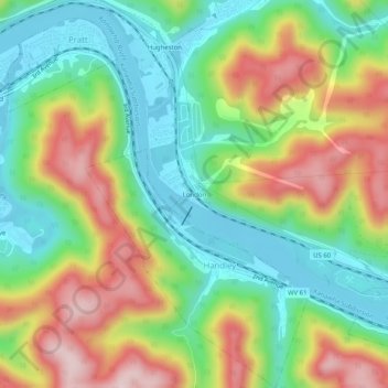
Name: London topographic map, elevation, terrain.

Location: London, Kanawha County, West Virginia, 25126, United States (38.17436 -81.38869 38.21436 -81.34869)

Average elevation: 317 m

Minimum elevation: 181 m

Maximum elevation: 519 m

Other topographic maps

Click on a map to view its topography, its elevation and its terrain.

Dunbar

United States > West Virginia > Kanawha County

Average elevation: 221 m

Gear up for your next adventure:

🧼Biodegradable Camp Soap - Environmentally friendly cleaning for gear and body
💧Reusable Water Bottle - Durable water bottles for hydration on trails
🍽️Titanium Camping Spork - Ultralight and indestructible eating utensil
Tent Footprint - Protect tent floor and increase durability
🦟Insect Repellent - Keep mosquitoes and black flies away in wooded areas

As an Amazon Associate, this site earns from qualifying purchases at no extra cost to you.