
Thalebra topographic map
Interactive map
Click on the map to display elevation.
About this map
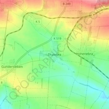
Name: Thalebra topographic map, elevation, terrain.
Location: Thalebra, Sondershausen, Kyffhäuserkreis, Thüringen, Duitsland (51.28598 10.77657 51.32598 10.81657)
Average elevation: 282 m
Minimum elevation: 237 m
Maximum elevation: 346 m