

Ottersberg topographic map
Click on the map to display elevation.
About this map
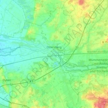
Name: Ottersberg topographic map, elevation, terrain.
Location: Ottersberg, Landkreis Verden, Lower Saxony, 28870, Germany (53.01595 8.94724 53.18450 9.20447)
Average elevation: 18 m
Minimum elevation: 3 m
Maximum elevation: 62 m
Other topographic maps
Click on a map to view its topography, its elevation and its terrain.

Klein Eissel
Germany > Lower Saxony > Landkreis Verden > Verden (Aller) > Eissel bei Verden
Average elevation: 11 m