Doiwāla topographic map
Interactive map
Click on the map to display elevation.
About this map
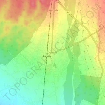
Name: Doiwāla topographic map, elevation, terrain.
Location: Doiwāla, Dehradun, Uttarakhand, 248140, India (30.15636 78.10464 30.19636 78.14464)
Average elevation: 485 m
Minimum elevation: 450 m
Maximum elevation: 520 m
Other topographic maps
Click on a map to view its topography, its elevation and its terrain.
Dehradun
India > Uttarakhand > Dehradun
Dehradun, Dehradun District, Uttarakhand, 248001, India
Average elevation: 904 m
Sahastradhara
India > Uttarakhand > Dehradun
Sahastradhara, Dehradun, Dehradun District, Uttarakhand, 248009, India
Average elevation: 1,100 m
Mohanpur
India > Uttarakhand > Dehradun > Dehradun
Mohanpur, Dehradun, Dehradun District, Uttarakhand, 248001, India
Average elevation: 599 m
Mussoorie
India > Uttarakhand > Dehradun
Mussoorie, Dehradun, Uttarakhand, 248179, India
Average elevation: 1,594 m