Geolocate

Benoit topographic map

Click on the map to display elevation.

About this map

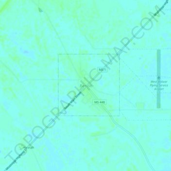
Name: Benoit topographic map, elevation, terrain.

Location: Benoit, Bolivar County, Mississippi, 38725, United States (33.63150 -91.02955 33.67150 -90.98955)

Average elevation: 43 m

Minimum elevation: 40 m

Maximum elevation: 46 m

Gear up for your next adventure:

🧴Insect Repellent - Protect yourself from bugs during outdoor adventures
🧥Fleece Jacket - Warm and lightweight jacket for layering
🧴First Aid Kit - Essential first aid supplies for outdoor emergencies
🛏️Sleeping Bag - Warm and compact sleeping bags for outdoor camping
🥾Lightweight Hiking Shoes - Comfortable shoes for day hikes

As an Amazon Associate, this site earns from qualifying purchases at no extra cost to you.