

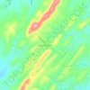
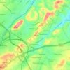
Johnson City topographic map
Click on the map to display elevation.
Johnson City
Johnson City has a humid subtropical climate (Köppen Cfa), with warm summers and cool winters. Temperatures in Johnson City are moderated somewhat by its elevation and proximity to the Appalachian Mountains. Precipitation is abundant, with an average of 45.22 in (1,149 mm). Summer is typically the wettest part of the year, while early autumn is considerably drier. Snowfall is moderate and sporadic, with an average of 15.6 in (40 cm).
About this map
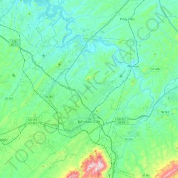
Name: Johnson City topographic map, elevation, terrain.
Average elevation: 513 m
Minimum elevation: 399 m
Maximum elevation: 974 m
Other topographic maps
Click on a map to view its topography, its elevation and its terrain.


McKinley
United States > Tennessee > Washington County > Johnson City > Midway
Average elevation: 540 m

Greenfield Heights
United States > Tennessee > Washington County > Johnson City
Average elevation: 499 m
Montcastle Hills
United States > Tennessee > Washington County > Johnson City
Average elevation: 506 m
East Ridge
United States > Tennessee > Washington County > Johnson City > East Ridge
Average elevation: 509 m