Geolocate

Dhalewadi topographic map

Click on the map to display elevation.

About this map

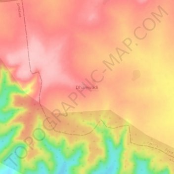
Name: Dhalewadi topographic map, elevation, terrain.

Location: Dhalewadi, Patoda, Beed, Maharashtra, India (18.74023 75.43816 18.78023 75.47816)

Average elevation: 744 m

Minimum elevation: 648 m

Maximum elevation: 787 m

Other topographic maps

Click on a map to view its topography, its elevation and its terrain.

Naigaon Mayur WLS

India > Maharashtra > Patoda > Naigaon

Average elevation: 680 m

Gear up for your next adventure:

🛁Quick-Dry Microfiber Towel - Space-saving towel that dries rapidly on the move
🥾Approach Boots - Comfortable boots for hiking and climbing approaches
🎒Fully Waterproof Backpack - Total protection for photography gear and electronics
🔭Outdoor Binoculars - Lightweight binoculars for birdwatching and hiking
🥾Trekking Poles - Adjustable trekking poles to reduce knee stress and improve stability

As an Amazon Associate, this site earns from qualifying purchases at no extra cost to you.