Geolocate

Flan topographic map

Click on the map to display elevation.

About this map

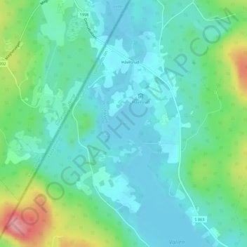
Name: Flan topographic map, elevation, terrain.

Location: Flan, Nystugan, Eda kommun, Värmland County, Sweden (59.98764 12.37698 59.99291 12.38734)

Average elevation: 155 m

Minimum elevation: 125 m

Maximum elevation: 248 m

Other topographic maps

Click on a map to view its topography, its elevation and its terrain.

Eda Glasbruk

Sweden > Värmland County

Average elevation: 150 m

Abborrtjärnsberg

Sweden > Värmland County

Average elevation: 456 m

Gear up for your next adventure:

🧣Merino Neck Gaiter - Protects against wind, sun, and cold at high altitudes
🎒Hiking Daypack - Lightweight and durable backpacks for day trips and excursions
🔦LED Flashlight - Powerful and long-lasting flashlight for camping and emergencies
💡Compact LED Flashlight - Powerful and portable flashlight for outdoor use
🦟Insect Repellent - Keep mosquitoes and black flies away in wooded areas

As an Amazon Associate, this site earns from qualifying purchases at no extra cost to you.