
Hasenfeld topographic map
Interactive map
Click on the map to display elevation.
About this map
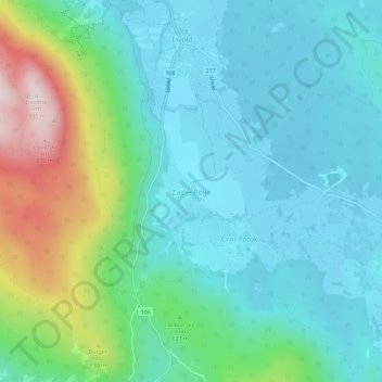
Name: Hasenfeld topographic map, elevation, terrain.
Location: Hasenfeld, Gottschee, Slowenien (45.57632 14.87273 45.61632 14.91273)
Average elevation: 575 m
Minimum elevation: 453 m
Maximum elevation: 983 m