Geolocate

Benital topographic map

Click on the map to display elevation.

About this map

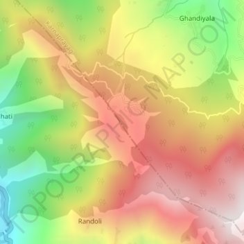
Name: Benital topographic map, elevation, terrain.

Location: Benital, Karnaprayag, Chamoli District, Uttarakhand, India (30.15919 79.24506 30.16172 79.24692)

Average elevation: 1,850 m

Minimum elevation: 1,238 m

Maximum elevation: 2,362 m

Other topographic maps

Click on a map to view its topography, its elevation and its terrain.

Dewal

India > Uttarakhand > Karnaprayag

Average elevation: 1,839 m

Gear up for your next adventure:

🧰Emergency Multi-Tool - Compact multi-tool for outdoor survival
🥾Waterproof Hiking Boots - Essential footwear for rugged terrain and wet Canadian trails
🧰Survival Kit - Essential gear for emergencies in the wilderness
🪑Ultralight Camping Stool - Compact seating for rest stops during long hikes
🥤Collapsible Travel Cup - Saves space and weight in your mess kit

As an Amazon Associate, this site earns from qualifying purchases at no extra cost to you.