
齐街镇 topographic map
Interactive map
Click on the map to display elevation.
About this map
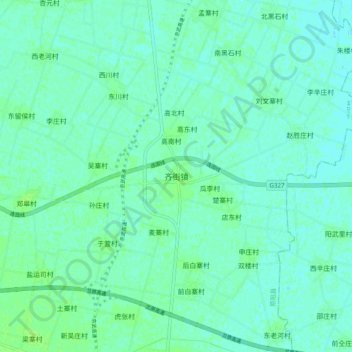
Name: 齐街镇 topographic map, elevation, terrain.
Location: 齐街镇, 原阳县, 新乡市, 河南省, 中国 (35.01306 114.17035 35.09306 114.25035)
Average elevation: 74 m
Minimum elevation: 70 m
Maximum elevation: 79 m
Other topographic maps
Click on a map to view its topography, its elevation and its terrain.