
Mairana topographic map
Interactive map
Click on the map to display elevation.
About this map
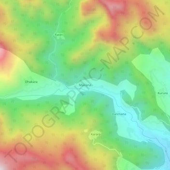
Name: Mairana topographic map, elevation, terrain.
Location: Mairana, Puraula, Uttarkashi District, Uttarakhand, India (30.86845 78.03426 30.90845 78.07426)
Average elevation: 1,735 m
Minimum elevation: 1,342 m
Maximum elevation: 2,311 m