Geolocate

Bay City topographic map

Click on the map to display elevation.

About this map

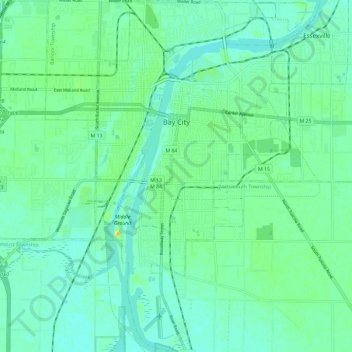
Name: Bay City topographic map, elevation, terrain.

Location: Bay City, Bay County, Michigan, 48708, United States (43.53867 -83.91616 43.62383 -83.84528)

Average elevation: 181 m

Minimum elevation: 173 m

Maximum elevation: 202 m

Other topographic maps

Click on a map to view its topography, its elevation and its terrain.

Kawkawlin

United States > Michigan > Bay County

Average elevation: 181 m

Gear up for your next adventure:

🧶550 Survival Paracord - Versatile utility cord for emergency repairs and rigging
Backpacking Tent - Lightweight tent for long-distance hiking trips
🔭Outdoor Binoculars - Lightweight binoculars for birdwatching and hiking
🥽Outdoor Goggles - Protective eyewear for outdoor activities
🦶Hiking Shoe Insoles - Added support for high arches and long days on feet

As an Amazon Associate, this site earns from qualifying purchases at no extra cost to you.