
Hamont topographic map
Interactive map
Click on the map to display elevation.
About this map
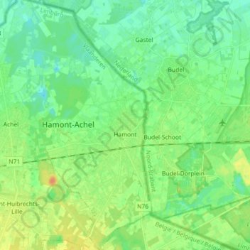
Name: Hamont topographic map, elevation, terrain.
Location: Hamont, Hamont-Achel, Maaseik, Limburg, Vlaanderen, 3930, België (51.20993 5.49114 51.29914 5.56031)
Average elevation: 34 m
Minimum elevation: 24 m
Maximum elevation: 52 m
Other topographic maps
Click on a map to view its topography, its elevation and its terrain.