
Rus topographic map
Interactive map
Click on the map to display elevation.
About this map
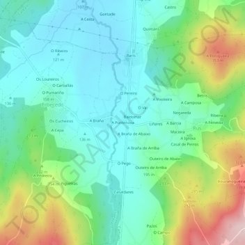
Name: Rus topographic map, elevation, terrain.
Location: Rus, A Pontenova, A Coruña, Galicia, 15109, España (43.13938 -8.70725 43.17938 -8.66725)
Average elevation: 195 m
Minimum elevation: 106 m
Maximum elevation: 410 m