
Hoyt topographic map
Interactive map
Click on the map to display elevation.
About this map
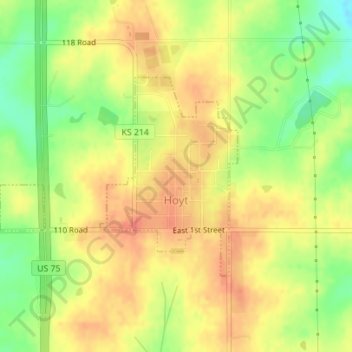
Name: Hoyt topographic map, elevation, terrain.
Location: Hoyt, Jackson County, Kansas, United States (39.24195 -95.72379 39.25717 -95.70028)
Average elevation: 347 m
Minimum elevation: 318 m
Maximum elevation: 365 m