
Lincolnton topographic map
Interactive map
Click on the map to display elevation.
About this map
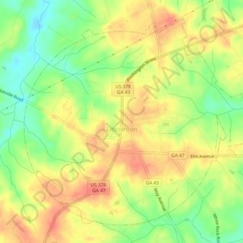
Name: Lincolnton topographic map, elevation, terrain.
Location: Lincolnton, Lincoln County, Georgia, United States (33.77813 -82.49699 33.80904 -82.45326)
Average elevation: 136 m
Minimum elevation: 105 m
Maximum elevation: 161 m