
Apata topographic map
Interactive map
Click on the map to display elevation.
About this map
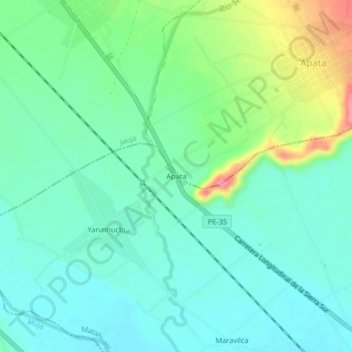
Name: Apata topographic map, elevation, terrain.
Location: Apata, Matahuasi, Provincia de Concepción, Junín, Perú (-11.88730 -75.39188 -11.84730 -75.35188)
Average elevation: 3,301 m
Minimum elevation: 3,276 m
Maximum elevation: 3,369 m