
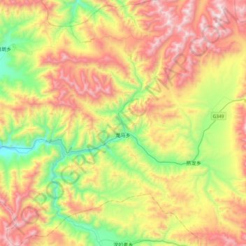
Lungmar topographic map
Interactive map
Click on the map to display elevation.
About this map
Name: Lungmar topographic map, elevation, terrain.
Location: Lungmar, Gyantse County, Shigatse Prefecture, Tibet, China (28.71236 89.76546 29.03474 90.03549)
Average elevation: 4,856 m
Minimum elevation: 4,135 m
Maximum elevation: 5,764 m