
Town of Woodboro topographic map
Interactive map
Click on the map to display elevation.
About this map
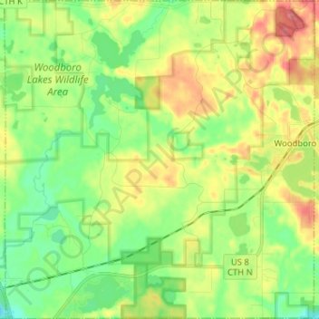
Name: Town of Woodboro topographic map, elevation, terrain.
Average elevation: 477 m
Minimum elevation: 445 m
Maximum elevation: 523 m
Other topographic maps
Click on a map to view its topography, its elevation and its terrain.
Yukon Creek
États-Unis d'Amérique > Wisconsin > Oneida County
Yukon Creek, Town of Minoqua, Oneida County, Wisconsin, États-Unis d'Amérique
Average elevation: 481 m