
Make a donation
Gear up for your next adventure:
As an Amazon Associate, this site earns from qualifying purchases at no extra cost to you.
Oelegem topographic map
Click on the map to display elevation.
Make a donation
Gear up for your next adventure:
As an Amazon Associate, this site earns from qualifying purchases at no extra cost to you.
Oelegem
Oelegem ligt in de Kempen op een hoogte van 6-11 meter. De belangrijkste waterlopen zijn de Tappelbeek en het Groot Schijn. Verder is van belang het Albertkanaal met ten zuiden daarvan een spaarbekken en ten noorden daarvan de aftakking van de Antitankgracht.
Make a donation
Gear up for your next adventure:
As an Amazon Associate, this site earns from qualifying purchases at no extra cost to you.
About this map
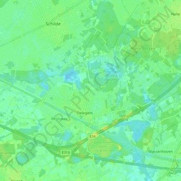
Name: Oelegem topographic map, elevation, terrain.
Location: Oelegem, Ranst, Antwerpen, België (51.19986 4.55386 51.23610 4.64387)
Average elevation: 9 m
Minimum elevation: 2 m
Maximum elevation: 18 m
Make a donation
Gear up for your next adventure:
As an Amazon Associate, this site earns from qualifying purchases at no extra cost to you.
Other topographic maps
Click on a map to view its topography, its elevation and its terrain.