
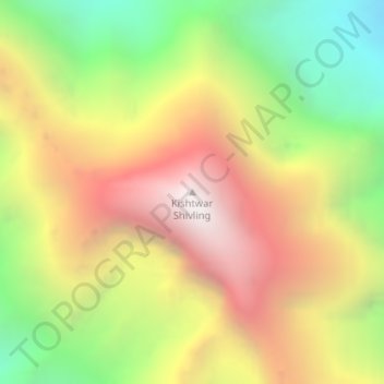
Kishtwar Shivling topographic map
Interactive map
Click on the map to display elevation.
About this map
Name: Kishtwar Shivling topographic map, elevation, terrain.
Average elevation: 4,976 m
Minimum elevation: 3,971 m
Maximum elevation: 5,982 m
Other topographic maps
Click on a map to view its topography, its elevation and its terrain.
Arjuna
Inde > Jammu-et-Cachemire > Atholi (Paddar)
Arjuna, Atholi (Paddar), Kishtwar district, Jammu-et-Cachemire, Inde
Average elevation: 5,224 m
Cerro Kishtwar
Inde > Jammu-et-Cachemire > Atholi (Paddar)
Cerro Kishtwar, Atholi (Paddar), Kishtwar district, Jammu-et-Cachemire, Inde
Average elevation: 5,281 m
Tatai
Inde > Jammu-et-Cachemire > Atholi (Paddar) > Wuchhar
Tatai, Wuchhar, Atholi (Paddar), Kishtwar district, Jammu-et-Cachemire, Inde
Average elevation: 2,445 m