Geolocate

Burrup topographic map

Click on the map to display elevation.

About this map

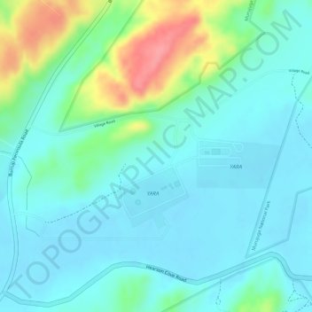
Name: Burrup topographic map, elevation, terrain.

Location: Burrup, Karratha, Western Australia, Australia (-20.63333 116.77190 -20.61333 116.79190)

Average elevation: 25 m

Minimum elevation: 2 m

Maximum elevation: 92 m

Gear up for your next adventure:

🥾Waterproof Hiking Boots - Essential footwear for rugged terrain and wet Canadian trails
🎒Fully Waterproof Backpack - Total protection for photography gear and electronics
🥾Mountaineering Boots - Supportive boots for climbing and high-altitude hiking
🔨Vehicle Emergency Tool - Safety tool for remote road trips to trailheads
🥾Hiking Shorts - Breathable shorts suitable for summer hikes

As an Amazon Associate, this site earns from qualifying purchases at no extra cost to you.