
Chacala topographic map
Interactive map
Click on the map to display elevation.
About this map
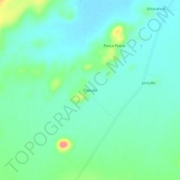
Name: Chacala topographic map, elevation, terrain.
Location: Chacala, Provincia de Caylloma, Arequipa, Perú (-15.92024 -71.11593 -15.88024 -71.07593)
Average elevation: 4,469 m
Minimum elevation: 4,449 m
Maximum elevation: 4,535 m