
Patterson Lake topographic map
Interactive map
Click on the map to display elevation.
About this map
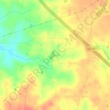
Name: Patterson Lake topographic map, elevation, terrain.
Average elevation: 216 m
Minimum elevation: 181 m
Maximum elevation: 239 m
Other topographic maps
Click on a map to view its topography, its elevation and its terrain.
Cedar Falls
United States > North Carolina > Randolph County > Cedar Falls
Cedar Falls, Randolph County, North Carolina, 27230, United States
Average elevation: 186 m