
F topographic map
Interactive map
Click on the map to display elevation.
About this map
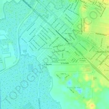
Name: F topographic map, elevation, terrain.
Location: F, Villa Maria, Nuevo Chimbote, Santa, Áncash, 02710, Perú (-9.13284 -78.55407 -9.11284 -78.53407)
Average elevation: 11 m
Minimum elevation: -5 m
Maximum elevation: 30 m