
Aranjuez topographic map
Click on the map to display elevation.
About this map
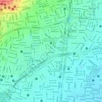
Name: Aranjuez topographic map, elevation, terrain.
Average elevation: 965 m
Minimum elevation: 950 m
Maximum elevation: 1,010 m
Other topographic maps
Click on a map to view its topography, its elevation and its terrain.
Parque La Flora
Colombia > Valle del Cauca > Cali > Perímetro Urbano Santiago de Cali
Average elevation: 997 m
San Antonio
Colombia > Valle del Cauca > Cali > Perímetro Urbano Santiago de Cali
Average elevation: 1,042 m
Parque de las iguanas
Colombia > Valle del Cauca > Cali > Perímetro Urbano Santiago de Cali
Average elevation: 959 m