
Kerkeind topographic map
Interactive map
Click on the map to display elevation.
About this map
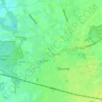
Name: Kerkeind topographic map, elevation, terrain.
Location: Kerkeind, Deurne, Noord-Brabant, Nederland, 5752 SL, Nederland (51.45081 5.76679 51.49081 5.80679)
Average elevation: 27 m
Minimum elevation: 20 m
Maximum elevation: 32 m