Geolocate

Gapshan topographic map

Click on the map to display elevation.

About this map

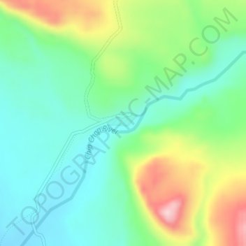
Name: Gapshan topographic map, elevation, terrain.

Location: Gapshan, Nubra, Leh District, Ladakh, India (35.30240 77.74888 35.32240 77.76888)

Average elevation: 4,845 m

Minimum elevation: 4,770 m

Maximum elevation: 4,999 m

Other topographic maps

Click on a map to view its topography, its elevation and its terrain.

Terche

India > Ladakh > Nubra

Average elevation: 3,190 m

Gear up for your next adventure:

🥾Lightweight Hiking Shoes - Comfortable shoes for day hikes
🧢Sun Protection Cap - Breathable cap to protect from sun exposure
🧭GPS Tracker - Track your location in remote areas safely
🪑Insulated Seat Pad - Protect your seat from cold rocks and wet logs
🧴Waterproofing Spray - Restore the DWR coating on jackets and tents

As an Amazon Associate, this site earns from qualifying purchases at no extra cost to you.