
Amecameca topographic map
Interactive map
Click on the map to display elevation.
About this map
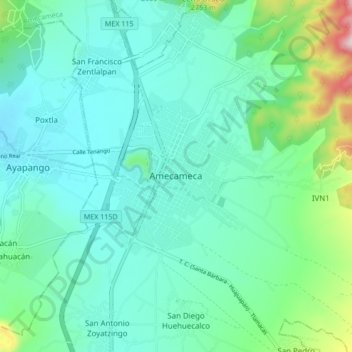
Name: Amecameca topographic map, elevation, terrain.
Location: Amecameca, Estado de México, 56900, México (19.08619 -98.80795 19.16619 -98.72795)
Average elevation: 2,522 m
Minimum elevation: 2,426 m
Maximum elevation: 2,897 m