Geolocate

Changping topographic map

Click on the map to display elevation.

About this map

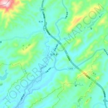
Name: Changping topographic map, elevation, terrain.

Location: Changping, Shangli County, Pingxiang, Jiangxi, China (27.69896 113.73328 27.77896 113.81328)

Average elevation: 196 m

Minimum elevation: 81 m

Maximum elevation: 662 m

Gear up for your next adventure:

🔨Vehicle Emergency Tool - Safety tool for remote road trips to trailheads
💧Filtered Water Bottle - Safe drinking water on the go
🏃Hydration Running Vest - Carry water and maps close to your body for speed
🪑Ultralight Camping Stool - Compact seating for rest stops during long hikes
🧥Softshell Jacket - Windproof and breathable jacket for hiking

As an Amazon Associate, this site earns from qualifying purchases at no extra cost to you.