Geolocate

Tiahuanaco topographic map

Click on the map to display elevation.

About this map

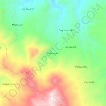
Name: Tiahuanaco topographic map, elevation, terrain.

Location: Tiahuanaco, Orurillo, Melgar, Puno, Perú (-14.78549 -70.54049 -14.74549 -70.50049)

Average elevation: 4,295 m

Minimum elevation: 3,995 m

Maximum elevation: 4,718 m

Gear up for your next adventure:

🧤Insulated Winter Gloves - Heavy-duty protection for sub-zero Canadian adventures
🥾Trekking Poles - Adjustable trekking poles to reduce knee stress and improve stability
🥫Freeze-Dried Meals - Lightweight, high-calorie nutrition for multi-day treks
Bushcraft Tarp - Versatile emergency shelter or gear protection
🧰Multitool Knife - Compact and versatile tool for outdoor use

As an Amazon Associate, this site earns from qualifying purchases at no extra cost to you.