
Ashaka topographic map
Interactive map
Click on the map to display elevation.
About this map
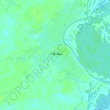
Name: Ashaka topographic map, elevation, terrain.
Location: Ashaka, Ndokwa East, Delta, Nigeria (5.61333 6.38000 5.65333 6.42000)
Average elevation: 15 m
Minimum elevation: 11 m
Maximum elevation: 19 m