Geolocate

Pakeng topographic map

Click on the map to display elevation.

About this map

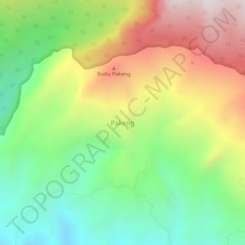
Name: Pakeng topographic map, elevation, terrain.

Location: Pakeng, Pinrang, South Sulawesi, Sulawesi, Indonesia (-3.54583 119.57645 -3.50583 119.61645)

Average elevation: 522 m

Minimum elevation: 51 m

Maximum elevation: 1,181 m

Other topographic maps

Click on a map to view its topography, its elevation and its terrain.

Gear up for your next adventure:

🥾Waterproof Trail Shoes - Shoes designed to handle wet terrain
🛏️Sleeping Bag - Warm and compact sleeping bags for outdoor camping
🕯️Camping Lantern - Illuminates your entire campsite with high-efficiency LEDs
🥾Hiking Boots - Sturdy boots providing ankle support and traction on rugged trails
🥾Mountaineering Boots - Supportive boots for climbing and high-altitude hiking

As an Amazon Associate, this site earns from qualifying purchases at no extra cost to you.