
Felsenthal topographic map
Interactive map
Click on the map to display elevation.
About this map
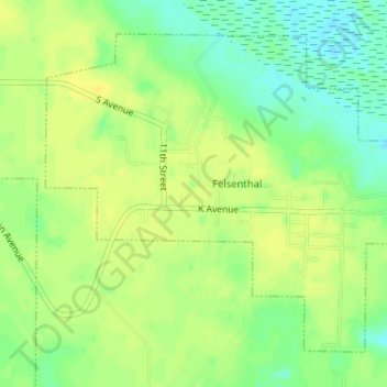
Name: Felsenthal topographic map, elevation, terrain.
Location: Felsenthal, Union County, Arkansas, United States (33.04577 -92.16920 33.06802 -92.13876)
Average elevation: 25 m
Minimum elevation: 12 m
Maximum elevation: 32 m