Geolocate

Marudi topographic map

Click on the map to display elevation.

About this map

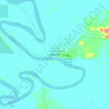
Name: Marudi topographic map, elevation, terrain.

Location: Marudi, Miri Division, Sarawak, Malaysia (4.13951 114.28110 4.21951 114.36110)

Average elevation: 6 m

Minimum elevation: -3 m

Maximum elevation: 62 m

Other topographic maps

Click on a map to view its topography, its elevation and its terrain.

Tutoh River

Malaysia > Sarawak > Marudi

Average elevation: 51 m

Gunung Mulu National Park

Malaysia > Sarawak > Marudi

Average elevation: 460 m

Gear up for your next adventure:

🧥Waterproof Hiking Jacket - Protect yourself from rain and wind while hiking
🥾Hiking Boots - Sturdy boots providing ankle support and traction on rugged trails
🛶Kayak Accessories - Essential gear for safe and fun kayaking adventures
🥾Trail Running Boots - Durable shoes designed for trail running
🥫Freeze-Dried Meals - Lightweight, high-calorie nutrition for multi-day treks

As an Amazon Associate, this site earns from qualifying purchases at no extra cost to you.