
Koggenland topographic map
Interactive map
Click on the map to display elevation.
About this map
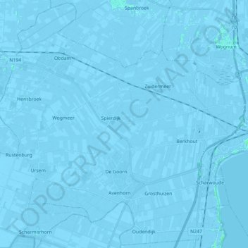
Name: Koggenland topographic map, elevation, terrain.
Location: Koggenland, Nordholland, Niederlande (52.59529 4.86270 52.69991 5.03904)
Average elevation: -2 m
Minimum elevation: -6 m
Maximum elevation: 4 m
Other topographic maps
Click on a map to view its topography, its elevation and its terrain.
Hensbroek
Niederlande > Nordholland > Koggenland
Hensbroek, Koggenland, Nordholland, Niederlande
Average elevation: -2 m
Zuidermeer
Niederlande > Nordholland > Koggenland
Zuidermeer, Koggenland, Nordholland, Niederlande
Average elevation: -3 m