
Rivera topographic map
Interactive map
Click on the map to display elevation.
About this map
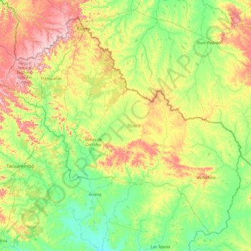
Name: Rivera topographic map, elevation, terrain.
Location: Rivera, Uruguay (-32.11037 -56.18502 -30.83280 -54.45162)
Average elevation: 169 m
Minimum elevation: 88 m
Maximum elevation: 387 m