
Woodland topographic map
Interactive map
Click on the map to display elevation.
About this map
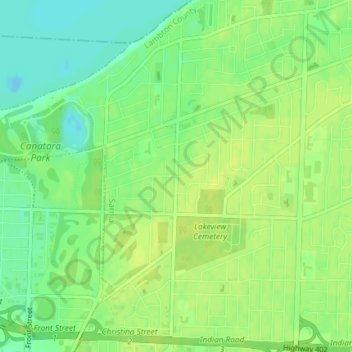
Name: Woodland topographic map, elevation, terrain.
Location: Woodland, Sarnia, Lambton County, Ontario, N7V 3Z3, Canada (42.99017 -82.39819 43.01017 -82.37819)
Average elevation: 183 m
Minimum elevation: 173 m
Maximum elevation: 189 m